
Pioneering the use of mobility data and geospatial analytics to understand who uses public spaces and who gets left behind.
Key Themes: Big data, Equity, Innovation, Research, Public policy, Fundraising
Role: Executive Lead 2022 – 2025
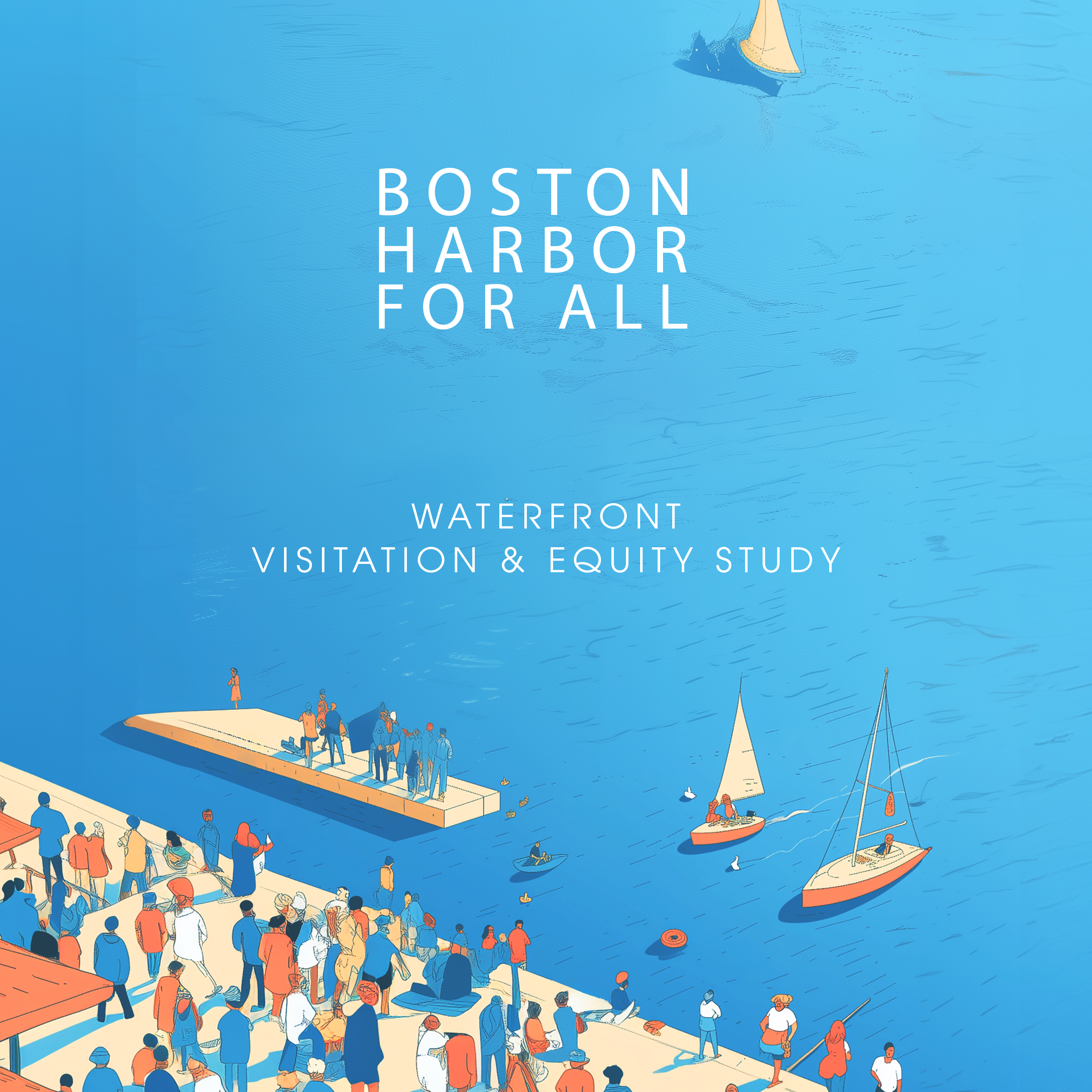
Organization: Boston Harbor Now
Led the development of a first-of-its-kind, data-driven equity model for public space planning, establishing a nationally relevant framework for measuring and improving access to parks and waterfronts.
WaVES was designed to answer a fundamental question: who is benefiting from public investments in parks and open space, and who is not. Historically, park agencies lacked the tools to measure visitation and demographic patterns at scale. I led a multi-year effort to build that capability from the ground up, combining advanced geospatial analytics with community-based validation to create a system that translates data into action.
The study integrated more than 170 billion anonymized mobility data points with on-the-ground surveys, interviews, and historical analysis to produce the first comprehensive view of visitation across Boston’s waterfront, including the Harborwalk, 28 waterfront parks, and the Boston Harbor Islands . This approach allowed us to move beyond assumptions and directly measure who is using public space and where gaps in access persist.
Findings revealed that while overall visitation is strong, Black, Latino, and other underrepresented communities remain disproportionately underrepresented relative to the region’s population. The work also identified key barriers to access, including transportation, cost, awareness, and historical patterns of exclusion.
To ensure credibility and real-world application, I structured a cross-sector research model that included a 20-member steering committee of public agencies and nonprofits, a technology partner, an independent data scientist, and an academic advisor . I also commissioned a third-party validation study through MassINC, which conducted more than 1,500 in-person surveys and observational counts to ground the data in lived experience .
Beyond research, I led the translation of findings into strategy. WaVES now informs Boston Harbor Now’s five-year strategic plan, shaping decisions on programming, transportation, and outreach. The model has influenced statewide efforts, with the Massachusetts Department of Conservation and Recreation developing a similar analysis based on this approach.
WaVES has been presented at national conferences including NRPA, City Parks Alliance, and the American Planning Association, and is increasingly recognized as a replicable model for the field.
This work reframes park equity from a question of proximity to one of measurable participation. It provides a scalable template that allows agencies to identify gaps, target interventions, and track progress over time. As data and computing tools become more accessible, this model positions WaVES as both a template and an engine for advancing equitable access to public space across the country.
