
Transforming complex regulatory and geographic data into a public-facing digital product.
Key themes: Digital transformation, Product strategy, Public engagement, Accessibility
Role: Executive Sponsor and Project Lead
Organization: Boston Harbor Now
Project Overview
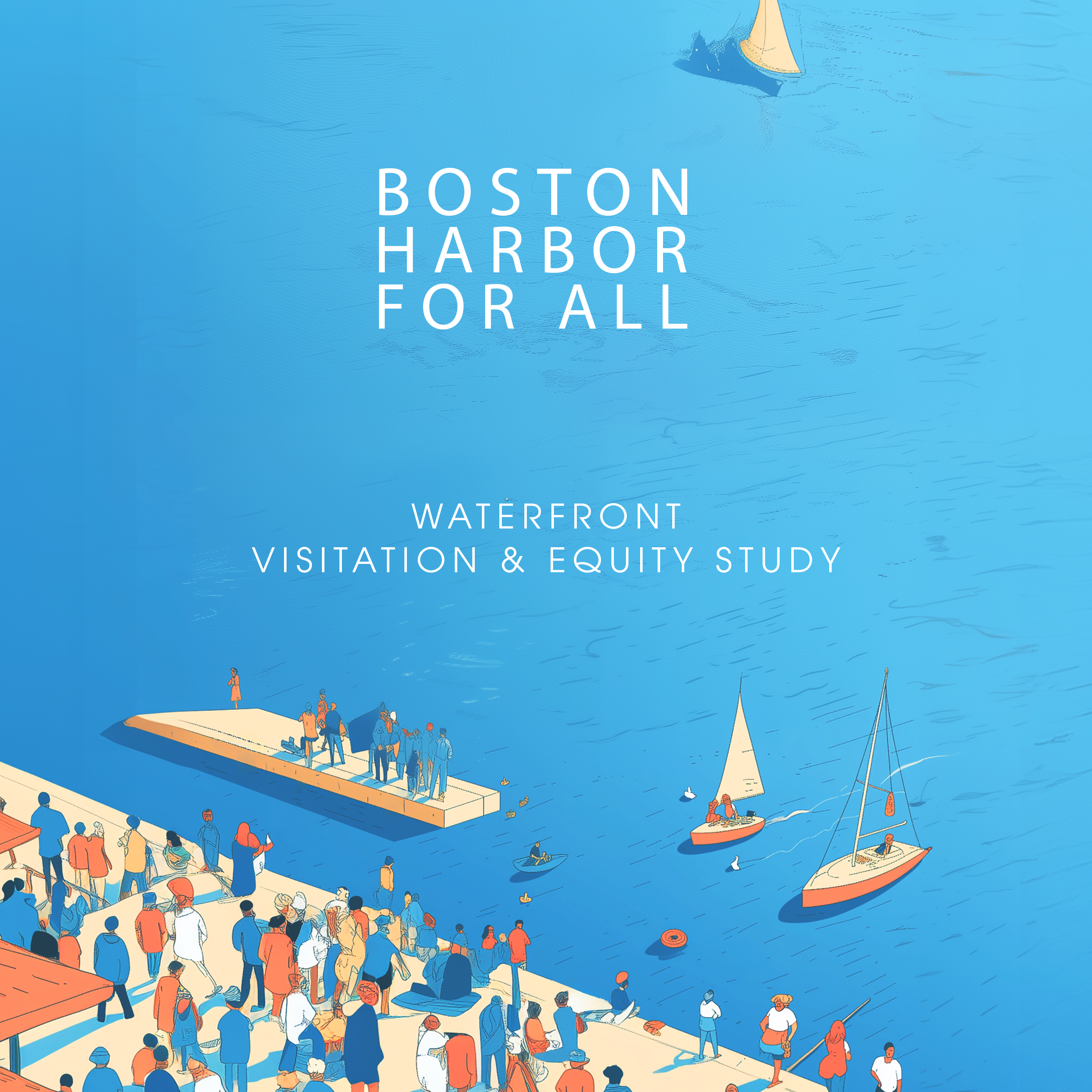
The Boston Harborwalk Webtool Modernization Project is a multi-year digital transformation initiative designed to reimagine how residents, visitors, policymakers, and waterfront stakeholders access, understand, and engage with Boston’s 43-mile Harborwalk and waterfront public realm.
Originally developed to make Chapter 91 public access requirements more transparent and accessible, the Harborwalk webtool has become an important resource for navigating one of Boston’s most significant public assets. Recognizing the growing need for more intuitive public access information, climate resilience education, and data-driven decision making, I led the strategic planning and redevelopment of the platform to transform it from a regulatory information resource into a dynamic public engagement and planning tool.
The project brings together municipal agencies, accessibility advocates, resilience experts, designers, technologists, and community stakeholders to create a next-generation platform that improves public access to the waterfront while supporting long-term stewardship of Boston Harbor.
Key Objectives
• Modernize the Harborwalk’s digital infrastructure and user experience
• Improve public awareness and utilization of Boston’s 43-mile Harborwalk network
• Integrate accessibility, mobility, and wayfinding information into a single public-facing platform
• Visualize climate resilience investments and waterfront adaptation projects
• Strengthen public understanding of waterfront access rights and public amenities
• Create a scalable framework for future technologies, including immersive and location-based experiences
Leadership & Strategy
As project lead, I developed the overall project vision, secured funding support, coordinated consultant teams, managed stakeholder engagement, and aligned the initiative with Boston Harbor Now’s broader strategic priorities around access, equity, and coastal resilience.
The work required balancing competing priorities among public agencies, regulatory frameworks, technical requirements, user needs, and organizational objectives while maintaining project momentum across multiple phases of planning and implementation.
Innovation & Impact
The redesign expands the Harborwalk from a mapping tool into a civic technology platform that helps people discover public spaces, understand climate risks, access waterfront amenities, and navigate the region’s evolving shoreline.
The project also establishes the foundation for future integration of emerging technologies, including augmented reality experiences, interactive storytelling, resilience visualization tools, and real-time public space information.
By connecting public access, climate resilience, and digital engagement in a single platform, the Harborwalk Webtool Modernization Project demonstrates how technology can strengthen civic infrastructure and help communities better understand, access, and steward shared public resources.